The way buildings are inspected is changing. For decades, identifying problems in roofs, walls, insulation, and electrical systems meant physical access, scaffolding, and significant time on site. Thermal drone technology has shifted that equation considerably, making it possible to identify a wide range of issues quickly, safely, and without disturbing the structure being inspected. For property owners, surveyors, and facilities managers, the implications are significant.
What Thermal Imaging Actually Does
Thermal cameras work by detecting infrared radiation, which all surfaces emit at varying intensities depending on their temperature. Where there is a problem, there is usually a temperature anomaly: a cold spot where insulation is missing, a warm patch where water has penetrated a roof membrane, a hotspot in an electrical installation where resistance is building up. These issues are invisible to the naked eye and to standard cameras, but show up clearly in thermal imagery. The ability to mount this technology on a drone and fly it over or around a building means that large and complex structures can be assessed in a fraction of the time that traditional inspection methods would require.
Where Thermal Drone Surveys Are Being Used
The range of applications has expanded considerably as the technology has become more accessible. Building envelope surveys identify missing insulation, air leaks, and water ingress before they cause structural damage. Solar panel arrays can be assessed for faulty cells, hotspots, and underperforming strings without anyone setting foot on the panels. Electrical infrastructure can be inspected for overheating components at a safe distance. Flat roofs, which are notoriously difficult and expensive to inspect manually, can be surveyed comprehensively in a single flight.
Regulations and Operator Standards
According to the Civil Aviation Authority, all commercial drone operations in the UK must be conducted by pilots holding the appropriate CAA qualification, which is an important consideration when commissioning any drone-based survey. The quality of the operator and the equipment they use has a direct bearing on the reliability of the data produced.
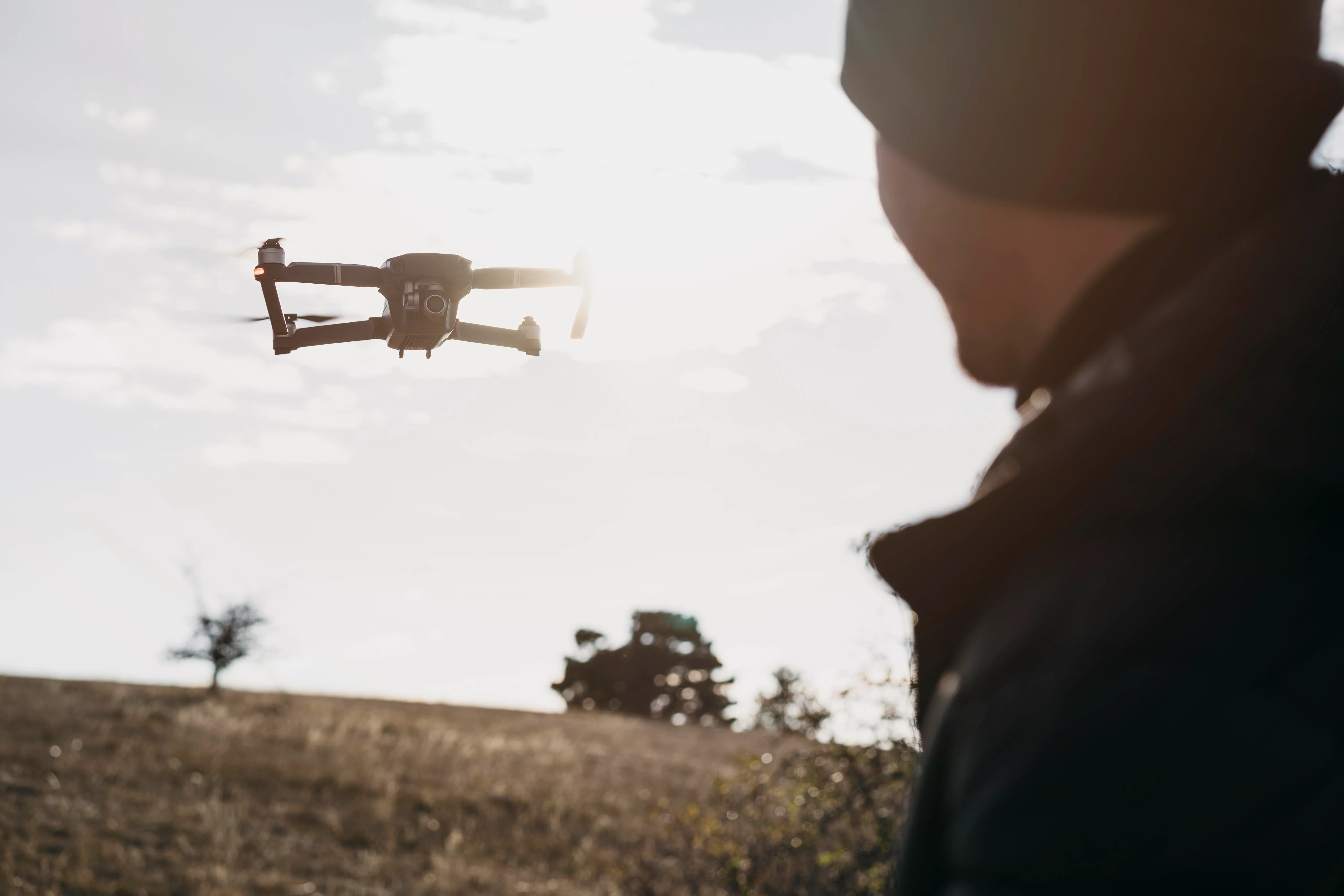
Choosing a Qualified Operator
This is where the distinction between operators matters. Thermal drone surveys require not just a licensed drone pilot but a qualified thermographer who can interpret what the data is showing. The two skill sets are not always found together, and a thermal image without proper analysis has limited value. Thermal drone imaging surveys bring both CAA-accredited pilots and in-house thermographers to each project, which means the data collected is analysed and reported by people who understand what they are looking at, rather than simply handed over as raw imagery.
Access to This Technology Across the UK
As the sector has matured, quality thermal drone operators have become available across most parts of the country. Radiometric thermal drone surveys are being used across the UK for buildings, solar installations, and electrical infrastructure, using high-resolution sensors that record absolute temperature values at every pixel for accurate post-flight analysis.
What It Means for Property Owners
The practical benefit is straightforward. Problems that would previously have gone undetected until they caused visible damage can now be identified and addressed early. The cost of a thermal drone survey is typically a fraction of the cost of the remedial work that results from leaving those problems undetected. For commercial property managers dealing with large portfolios, for developers commissioning new builds, and for homeowners concerned about heat loss or roof condition, it is one of the more cost-effective diagnostic tools now available.